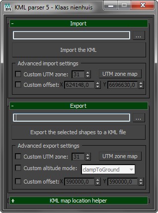
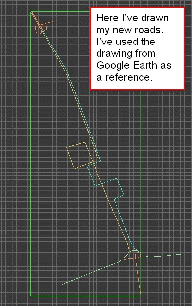
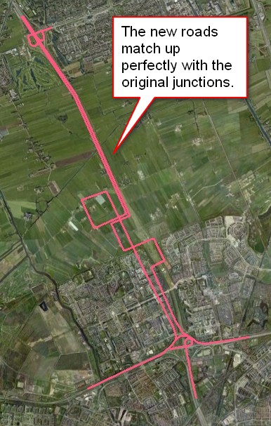
Import and export shapes from and to Google Earth. Use the KML file format to exchange geo-referenced shapes and keep the correct locations on the globe.
Check out the blog for more information. I've also written a tutorial.

Script
 By grabjacket · 2012-09-22
Tags: export, import, parse, kml, google earth
Import and export shapes from and to Google Earth. Use the KML file format to exchange geo-referenced shapes and keep the correct locations on the globe.
Check out the blog for more information. I've also written a tutorial.
v005
Added support for altitudes
Added creation of a poi within 3dsMax
reshuffled gui
v003
Added support for polygons (Google Earth) and closed shapes (3ds Max)
zahid hasan · 2012-09-23
thanks a lot.
i have not used it yet. but the idea is very good.